J is for Jade Gate

The Remains of the Jade Gate, photo from Silk Road Tours.

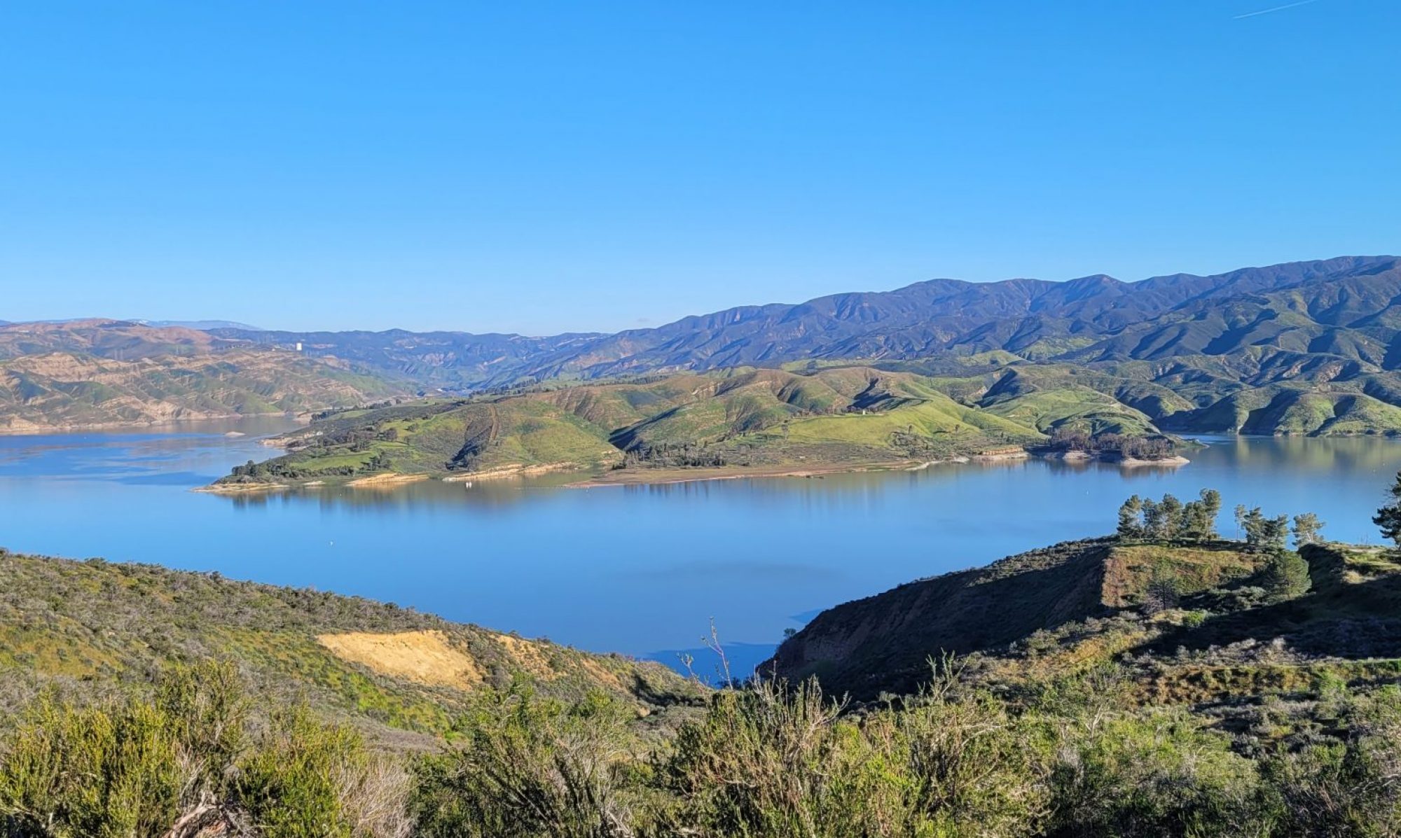
Border control. That’s what we would call the Jade Gate today, a series of fortress and structures that guarded the pass from northern China to the entire west. The Silk Road in the northeastern part of Asia slid between the stark Taklamakan Desert , one of the harshest in the world, and the ridge of Tien Shan mountains. As the road skirted this harsh climate for 600 miles, it dropped down through a “bottleneck” into a beautiful and fertile countryside. Xi’an, the end or beginning of the road depending your point of view, was right on the other side.

Yumenguang, Jade Gate, the bottleneck of the Silk Road. Map courtesy of Aurel Stein.

Yumen Pass

It was called jade because jade, the product, passed through going to and from China. The royals wore jade in their tombs. Today, a lot of the jade comes out of Myanmar and the mines in the south traversing north; in 150 BCE, there were a lot of options to push it through circulation, but the northern Chinese emperors surely wanted it.

Yet there were raiders to prey on the caravans, though they also would have had to hide in the desert or the mountains. And if they wanted to pour into China, they had to pass through this relatively small place, big enough for large raiding parties perhaps, but not a massive army.

The Han dynasty emperors built some barricades and placed guards along the barricades, as well as compelling the travelers to pass through the gate.

Yumen guan 玉門關 are derived from: yu 玉 = ‘jade’ + men 門 = ‘gate’, ‘door’;  guan 關 = ‘frontier-passes’.

Continue reading “J is for Jade Gate”

I is for Ibn Battutah

If you thought Giovanni da Pian’s 5000 miles across Asia was long, how about 73,000 miles?

Muslim scholar Abu Abdullah Muhammad ibn Battutah — in Arabic بُو عَبْد الله مُحَمَّد اِبْن عَبْد الله اللَّوَاتِيّ الطَّنْجِيّ اِبْن بَطُّوطَة — traveled all across the deserts of Asia Minor AND across northern Africa, southern Europe, eastern Europe, India, the southern oceans, and parts of China. It was enough to circumnavigate the globe three times. Battuta went so far, that there are multiple views of his trip, all of which could fit under the heading of “map porn,” a few of which I will include because I do just love me some maps.

Ibn Battuta traversed pieces of the Silk Route, including sea routes. Wikipedia.
Continue reading “I is for Ibn Battutah”

H is for Heavenly Horses (hànxuèmǎ)

Ferghana horse, photo by Olga I., posted at Culture Trip.

They have a lot of names. Heavenly horses. Ferghana horses. The horses of Tianma, the Argamaks.

The vegetarian dragons (my favorite!) The horses that sweat blood.

Ferghana horses in Bactria, photo from Emory U.

They came from the Asian steppes; Ferghana is in Uzbekhistan. From Iran and Turkey, where they might be called Nisean. Of course they did, since equus originated on the plains of Asia. As you may know, those teeny weeny North American horse ancestors died out, and all horses in this hemisphere were originally imported. The wheel, after all, was invented in Mesopotamia and perfected by Asian steppe people like the Hittites who created chariots. Asia covers a lot of territory. Camels are good for plodding through sand, but horses are good for crossing a lot of hard, grassy ground, and Asia had plenty of that.

Continue reading “H is for Heavenly Horses (hànxuèmǎ)”